
Weatherford Neighbor Records by Block
A Weatherford neighbor search is most accurate when each source used for Weatherford research is asked one small question. The Weatherford parcel viewer shows the geometry around an address. PCAD supplies the visible appraisal-account fields for each parcel. The Parker County Clerk links legal descriptions to recorded instruments. Weatherford GIS can add a current boundary or annexation layer. Historical Weatherford directories and maps can explain an earlier block, while association certificates can identify an organization attached to a subdivision. None of those sources is a complete household roster.
| Block source | What it can show nearby | Access and limit |
|---|---|---|
| Weatherford Parker CAD GIS | Subject parcel, adjoining parcel polygons, and map context | Public viewer; controls can change |
| Weatherford PCAD appraisal search | Property ID, Geographic ID, owner label, address, legal description, and map link | Public Weatherford appraisal lead, not an occupancy record |
| Parker County Clerk index | Recorded parties, instruments, dates, liens, plats, and legal-description trail | Index, image, and certified-copy access differ |
| Weatherford GIS | Weatherford boundary, zoning, districts, utilities, routes, and annexation context | Map context, not a resident list |
| Weatherford Library or TSLAC holdings | Dated Weatherford directories, newspapers, tax material, and historic maps | Historical and collection-specific access |
For Weatherford neighbors, an adjacent owner label is a lead that must be kept in its own lane. It can differ from the person at the property. Likewise, a Weatherford tax mailing address may belong to an owner, agent, estate, or other recipient. Read the exact label shown by the source and save the access date.
Mapping Weatherford Neighbor Parcels
The practical Weatherford adjacent-parcel method begins with a complete address, then moves outward one polygon at a time. The Parker CAD GIS viewer provides the Weatherford parcel context, while PCAD gives the parallel appraisal-account result. Weatherford GIS adds city layers, but map controls are dynamic, so confirm the current layer names in a live session. The goal is a short documented chain from the subject parcel to each adjoining parcel, not a broad list of names.
- Search the PCAD address route with the number and street name. The research says to omit a street type such as Street, Drive, or Lane, then retry with a less-specific street string if needed.
- Save the displayed Property ID, Geographic ID, owner label, address, legal description, and Map/GIS link for the subject parcel.
- Open the map, click the subject parcel, then inspect each adjoining polygon separately. Record each adjoining parcel identifier before comparing names.
- Use the legal description or recorded-instrument information to verify a parcel relationship. For a full named-street chain rather than a single block, use the Weatherford streets lookup.
A Weatherford parcel is the land unit shown by the appraisal and map systems. A legal description is the formal lot, block, subdivision, abstract, or survey language used to identify it. Those Weatherford identifiers are more stable than an informal map pin when an address changes or falls near a boundary.
Note: Verify each adjoining appraisal record separately because nearby ownership and present occupancy are distinct facts.
Weatherford Neighborhood Edges and Annexations
Weatherford postal labels and city limits are not the same field. The Parker County subdivision list separates city limits, school district, precinct, street location, city address, ZIP, volunteer fire district, and PCAD identifier. A parcel with a Weatherford mailing address may therefore be in county jurisdiction or near an edge. The City Secretary's Boundary Book, current city GIS, and the annexation layer are the proper tools when a municipal-status conclusion matters. A proposed annexation notice is not proof of a final, effective annexation.
The Weatherford annexations layer is the source behind this Weatherford neighbors image. The layer can provide an ordinance number, description, date, acreage, year, type, and geometry for a candidate area.
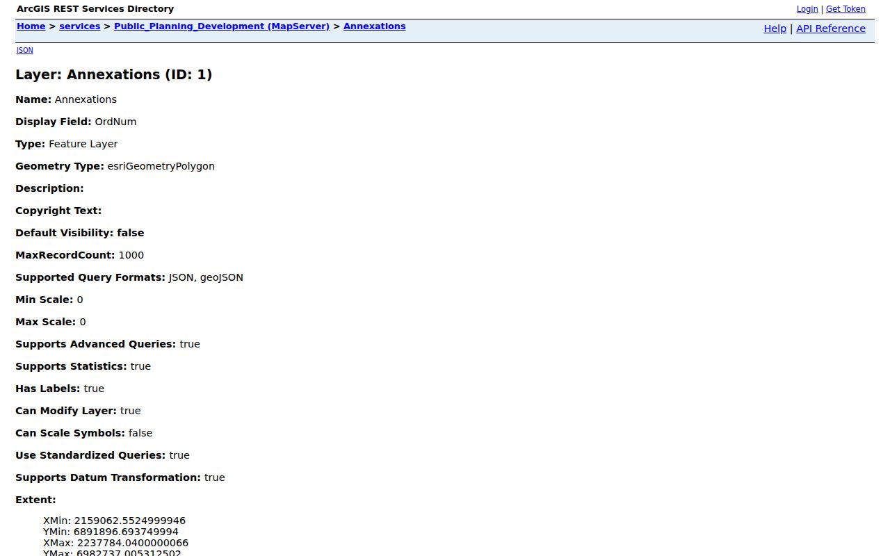
Pair a map conclusion with the date checked. Boundaries and annexation records can change while a mailing ZIP remains the same.
Weatherford Neighbor Association Certificates
Weatherford did not have a city-maintained neighborhood-association directory in the sources reviewed. The supported alternative is the Texas Department of Insurance management-certificate search. It accepts association name, county, city, ZIP, and association-type filters. A certificate can identify a Weatherford association and certificate date, but the state warns that certificate information is user-provided and its completeness and reliability are not guaranteed. It is an organizational lead, not a membership list.
| Association certificate lead | Weatherford or Parker result context | How to confirm |
|---|---|---|
| Parker's Draw POA | Weatherford 76086 result | Search the state certificate system by name and review the current certificate |
| Lockwood IV POA | Weatherford 76087 result | Compare certificate details with the subdivision and parcel records |
| Clear Creek Townhomes Owners Association | Weatherford 76087 result | Use the association name and current certificate date |
| Homeowners of Bedinger Place | Weatherford 76087 result | Check city, county, and ZIP fields separately |
| Silverstone at Pearson Ranch Owner Association | Weatherford 76087 result | Do not infer an individual connection from the certificate |
Use the Texas HOA management-certificate search to query the current record. An association may have a Weatherford mailing address while its county or property context differs, which is another reason to check the parcel and jurisdiction fields.
Weatherford Licensed Activity and Neighbors
City permit and licensed-entity records can show a dated activity at an address, but they require careful role labels. Weatherford's public permit system includes operating licenses, contractors, fire permits, food-establishment scores, planning and zoning, code cases, and public search. Its licensed-entity output can display a business name, number, license type, subtype, address, name, email, and phone when available. The record may name a business or professional rather than a person connected to the block.
The Weatherford licensed-entities directory is the source for this Weatherford neighbors image.
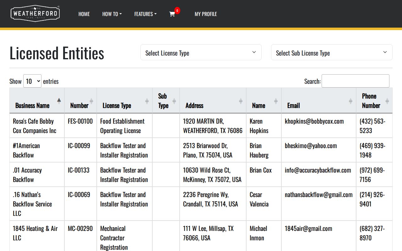
Use the exact displayed role and date. A permit holder, applicant, contractor, or licensee is not automatically a neighbor or a current occupant.
| Official block record | Commercial neighbor category | Best use |
|---|---|---|
| Dated and role-specific parcel, deed, map, or permit record | Compiled profiles can be stale, incomplete, or mix similar names | Use the official record as the starting point |
| Custodian identifies source and access path | Collection method and update date may be unclear | Verify a claim with the responsible office |
| Protected fields remain restricted | Category results do not make restricted data proper to use | Keep the minimum necessary detail |
Weatherford Block History on Sanborn Maps
Historic Weatherford blocks need historic Weatherford sources. Weatherford Sanborn editions identified by institutional collections run from 1885 through 1921. The 1921 set has 17 sheets and can show structures, period commercial use, water facilities, fire notes, house or block numbers, and other built-form details. It does not identify a present owner, current occupant, or legal parcel boundary. Pair an old Weatherford map with a directory year, newspaper notice, tax roll, or deed and record the source year for each conclusion.
Weatherford's record trail also has a real break: the May 13, 1874 courthouse fire destroyed deeds, wills, probate, and marriage records. Surviving Weatherford council minutes from 1860 through 1874 and County Treasurer records from 1856 through 1871 are on TSLAC reel 1548878. Later deed records, tax rolls, library newspapers, and local-history holdings can rebuild pieces of a block's past without claiming the lost books survived.
Weatherford Neighbor Data That Stays Protected
Weatherford voter information is not a casual block roster. The Texas My Voter Portal is the official Weatherford registration and polling-place route, but the research found that the current entry requires a Texas driver's license to start and that the live fields were not fully exposed in the text capture. SOS guidance distinguishes public name, date-of-birth, voter-ID, and elections-voted information from protected Social Security, Texas driver's-license or DPS-ID, telephone, and protected-residence data. Election participation never reveals ballot choices.
Address assignment also depends on jurisdiction. Weatherford Fire handles in-city addressing according to the city FAQ, while Parker County 911 Addressing serves most unincorporated areas and excludes Weatherford. The county application uses legal description, PCAD ID, driveway location, and structure details to assign or reassign a rural situs. That unusual split helps explain why a street address, city label, ZIP, and authority can point to different systems.
Weatherford Neighbor Record Requests
For a missing or unresolved Weatherford address record, request only the existing public material needed from the right custodian. The City Secretary's Weatherford public-information request route uses JustFOIA, mail, fax, or hand delivery. A Weatherford city request should name the address, known parcel identifier, record type, date range, and closed or open status, then ask for redacted public portions when needed. Municipal Court has its own request form, while Parker County Clerk instrument requests belong with the County Clerk.
The Weatherford Municipal Court disclosure form is the source behind this image. Its fields ask for the requestor's details, defendant full name and date of birth, a specific description, request date, typed signature, and an email-copy choice.
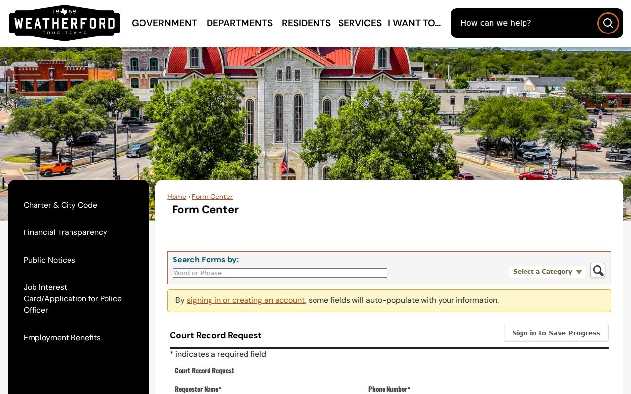
The court review fields belong to the court. A specific existing-record request is better than asking an office to assemble a new personal profile.
The Parker County-linked Property Fraud Alert is the source for this Weatherford neighbors image. It sends recording notifications after enrollment but is an alert service, not a title guarantee.
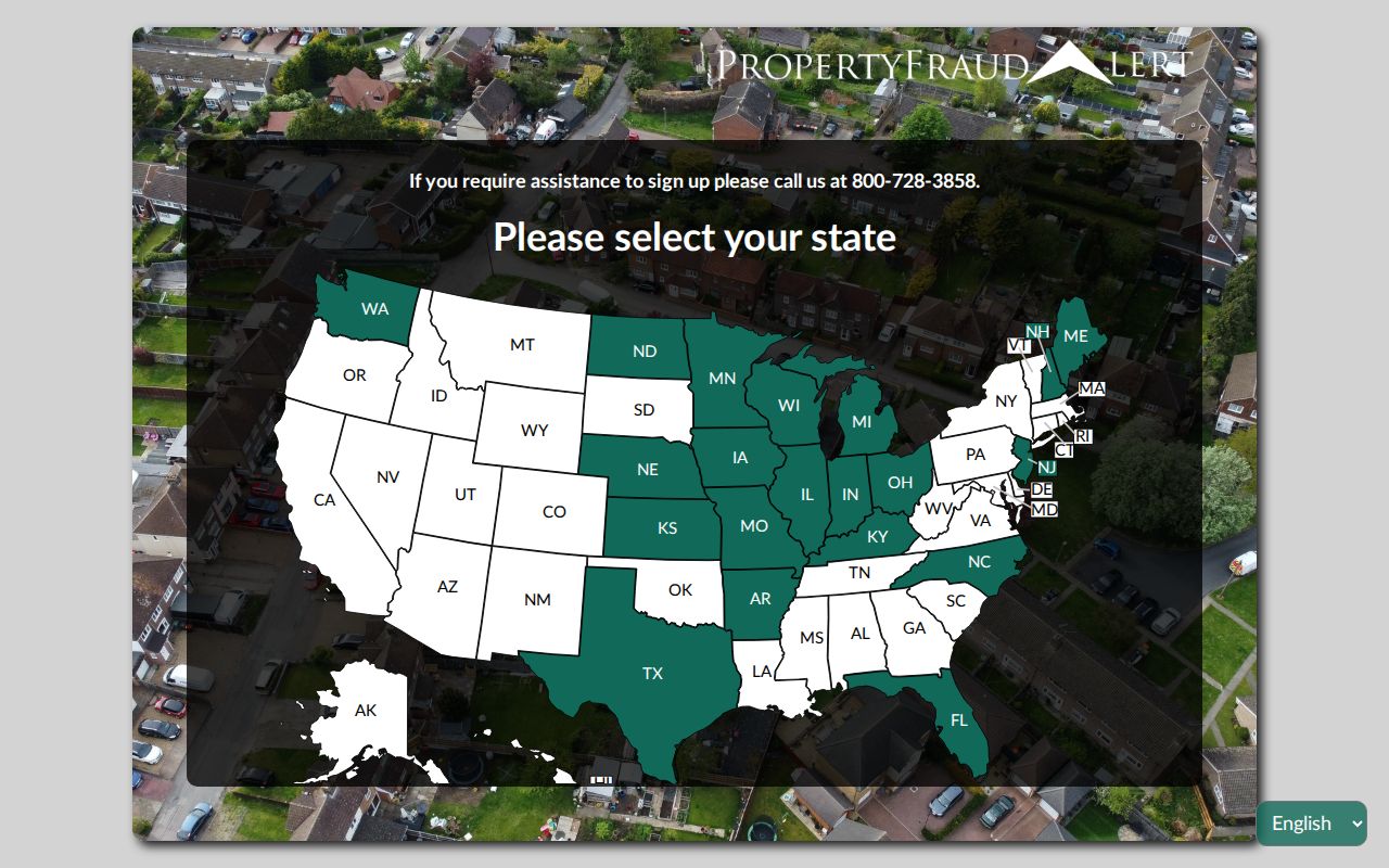
If an alert identifies a concern, obtain the actual instrument from the County Clerk and use official contact details for the follow-up.
Note: A narrow request should include the address, record type, date range, and known identifier rather than a broad request for personal information.
Weatherford Neighbor Lookup Privacy
Weatherford public parcel and map material has firm boundaries. It does not expose utility customer lists or motor-vehicle personal information, and it cannot prove that a person lives at a Weatherford parcel. Texas voter suppression and alternate-address programs protect eligible voters. Recent vital material, juvenile matters, sealed or expunged files, victim information, protected law-enforcement records, and driver's-license information also have statutory limits. Respect the record's role, date, and restrictions rather than combining partial sources into a claim about a household.
Texas Public Information Act exceptions include confidential information, and §552.352 penalizes distribution or use of confidential information in violation of the chapter. If an official record is wrong, bring the record identifier and lawful supporting material to the custodian's correction route. Source agency, record type, date, identifier, role, and access caveat are the useful facts to preserve.
Lawful use. Weatherford neighbor research is for personal, lawful purposes and community context. Texas Penal Code chapter 42, including §42.072, prohibits using record-derived information to stalk, harass, threaten, intimidate, or facilitate unwanted contact.