
Walk a Weatherford Street by Address
The first pass through a Weatherford address trail should be an address-to-record walk, not a guess about a household. Enter the number and street name in the Parker County Appraisal District address search, save the parcel identifiers, and open the associated map. The PCAD owner field is a property role. It does not by itself prove that person lives at the situs address. From there, the legal description provides the stable bridge to the County Clerk's recorded instruments, even when a street label has changed or a rural address is ambiguous.
- Search PCAD by street number and street name. Omit the street type and try a shorter street string if the first entry produces no hit.
- Record the Property ID, Geographic ID, owner field, address, legal description, and map link exactly as displayed.
- Open the Parker CAD GIS, inspect the subject parcel, and check adjacent polygons separately when the street segment matters.
- Use the legal description and party names in the County Clerk index to locate deeds, plats, liens, easements, and their dates.
- For an earlier household, consult a reverse or criss-cross directory through the library or state collections, then corroborate it with a dated source.
Texas voter information has access limits. The public voter-status tool is not a casual street roster, and a formal voter-file request must not be used to rebuild protected addresses. A name found in any source needs a record date and role before it becomes a useful lead. Note: A parcel trail is strongest when each result is saved with its access date and the exact label shown by the custodian.
Search Weatherford Streets in PCAD
PCAD is the central online starting point for a Weatherford address search. Its address search uses Number and Street Name, and its guidance says to leave out a street type such as Street, Drive, or Lane. When a full entry fails, a less-specific street search can reveal the format PCAD recognizes. The result surface supplies the practical handoff fields: Details, Property ID, Geographic ID, Owner Name, Address, Legal, and a Map/GIS route. Keep the original spelling, because a later deed or map may use a variation.
The PCAD owner-name search is useful after an address result identifies a property role. It requires last and first text input, at least two characters, no spaces, and suggests a partial last name. Use that search to check related appraisal entries, not to convert an owner field into a current-residence claim.
The official PCAD owner-name search is shown below.
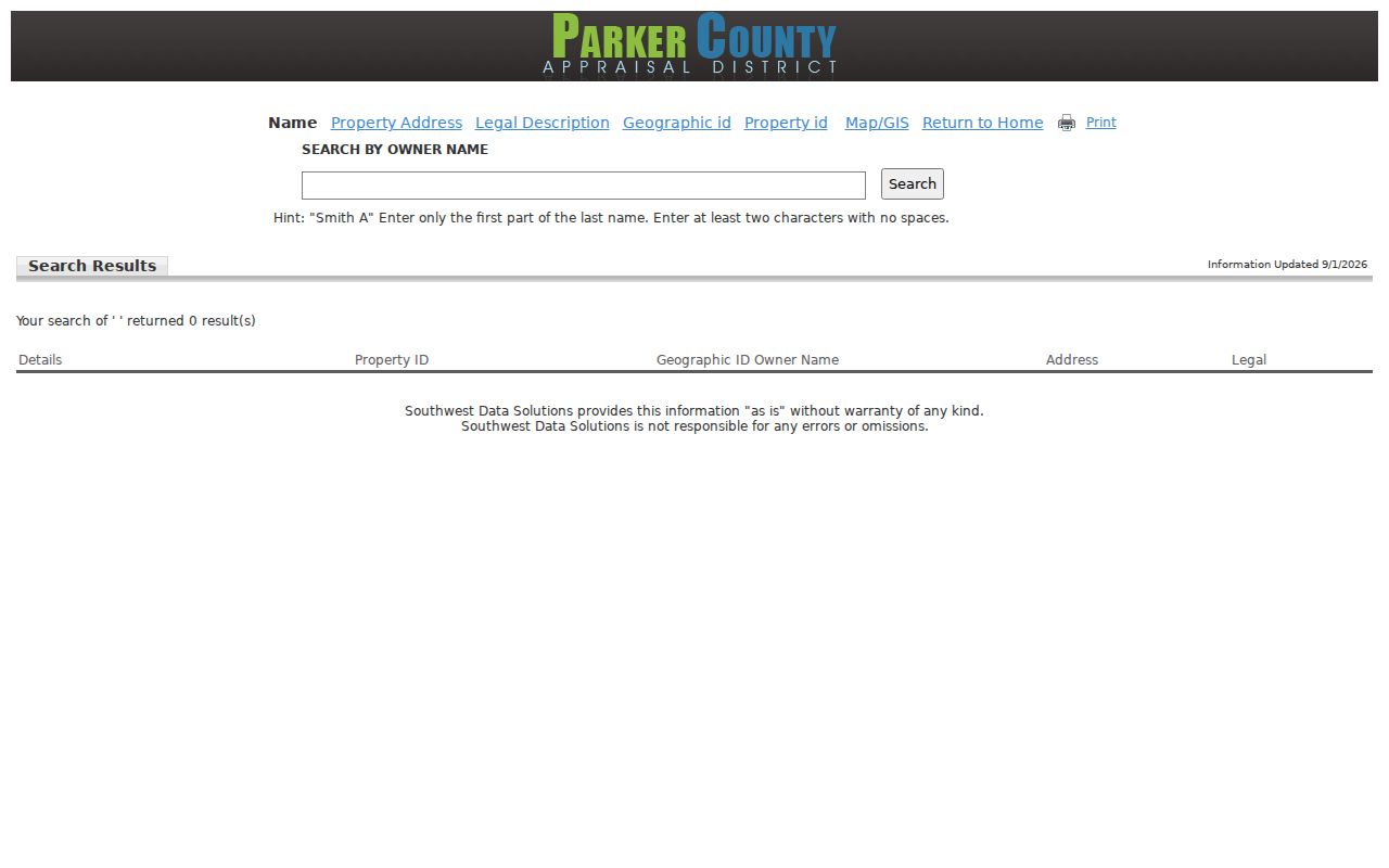
The form illustrates why a partial-name retry can help after a parcel result, but the address, legal description, and source date remain the better controls for a street-level question.
The official PCAD Property ID search is shown below.
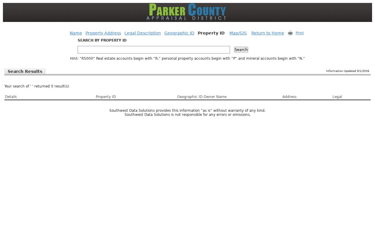
Property IDs use account-prefix examples for real estate, personal property, and mineral records, so the type of account should be checked before relying on a match.
Keep Weatherford Parcel Fields Together
A Weatherford street search becomes easier to reproduce when the parcel fields travel together. The PCAD legal-description search connects a lot, block, subdivision, abstract, or acreage description to the recorded-deed chain. The Geographic ID is another parcel identifier. Neither field is a household list, but both can prevent the error of following the wrong address when a road has similar numbering or crosses a jurisdiction edge.
| PCAD field | What it controls | Why save it |
|---|---|---|
| Property ID | Account-level property search | Identifies the appraisal account category. |
| Geographic ID | Parcel identifier | Connects a map result to the parcel record. |
| Address | Situs or displayed address field | Should be retained with its exact label. |
| Legal description | Lot, block, subdivision, abstract, or acreage | Bridges appraisal material to plats and deeds. |
| Owner Name | Appraisal record role | Needs deed and date checks before any conclusion. |
The official PCAD legal-description search is shown below.
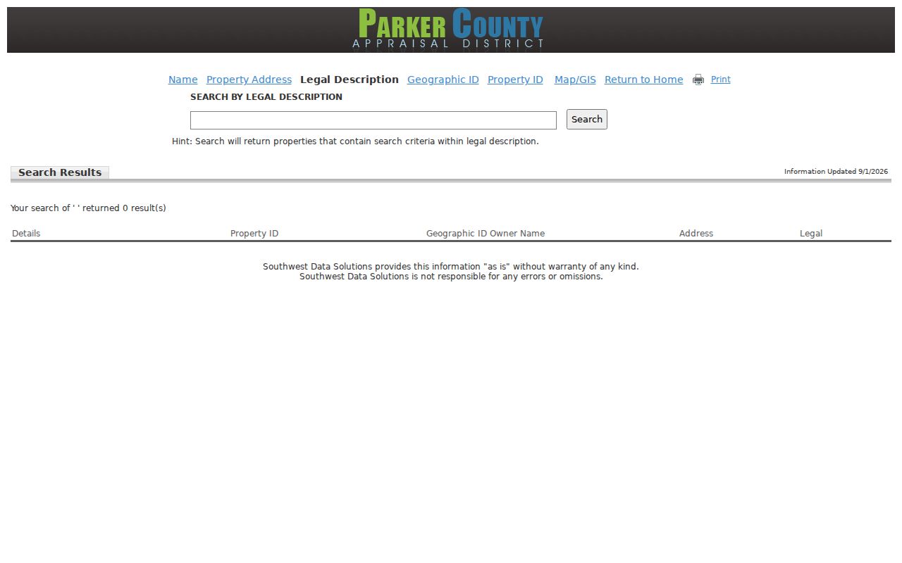
A legal-description result is useful where an address has been revised, because recorded instruments and plats commonly use the legal description rather than a mailing label.
The official PCAD Geographic ID search is shown below.

PCAD displays an example Geographic ID format and asks for at least two characters with no spaces, which makes a copied identifier safer than a reconstructed one.
Check a Weatherford Street Segment in GIS
The Parker CAD GIS viewer gives a spatial check that a results list cannot. Open the parcel map, click the subject polygon, use the property or map link, and then inspect adjoining polygons one at a time. The Weatherford GIS adds city mapping context, including layers for boundaries, zoning, utilities, school districts, emergency-response districts, garbage routes, planning data, and annexation information. Dynamic controls can change, so record the map date and the layer used.
GIS identifies parcel relationships, not occupants. A map can show an adjacent parcel, while PCAD and a recorded deed describe the property role on that parcel. A name on one parcel should never be copied across a street segment without separately checking the next parcel.
Weatherford Street Records by Custodian
Several Weatherford records can be keyed to an address, but they answer different questions. PCAD provides the appraisal and parcel context. The County Clerk supplies recorded instruments and copies. City Development Services publishes a permit activity search. The county subdivision list supplies local-jurisdiction fields. Older address-to-household leads sit in historical reverse directories rather than in a modern public occupancy roll.
| Address record | Custodian | What it can establish | Access path |
|---|---|---|---|
| Appraisal parcel | PCAD | IDs, owner field, address, legal description, GIS link | Online address, name, legal, Geographic ID, or Property ID search |
| Recorded instrument | Parker County Clerk | Parties, date, type, legal description, lien or easement reference | Tyler/Laredo index, then image or certified-copy workflow |
| Plat or subdivision | County Clerk, PCAD, GIS | Lot/block, cabinet-page, and subdivision geometry | County records, subdivision list, and GIS |
| Permit or code case | Weatherford Development Services | Address-linked activity, status, and sometimes parcel or applicant role | Public permit search with live filter review |
| Historic directory | Weatherford Library and TSLAC | Period address and directory entry clues | Library holdings, reading-room microform, and staff access routes |
When no online image answers the question, the fallback chain is the County Clerk copy or certified-record process, the clerk's office, and the TSLAC microfilm guide for older volumes. Under the Texas Public Information Act, a written request should identify existing records, a date range, and the address, parcel, case, or document identifier. Agencies need not create a new report or conduct research.
Trace Weatherford Deeds and Plats
The County Clerk's official-records landing page and Laredo route are the starting places for a modern deed chain. County materials state online real-property coverage from October 1857 to current, but they also say the index is not the official repository. The 1874 courthouse fire destroyed deeds, wills, probate, and marriage records, so that coverage statement cannot prove an early instrument survived. A search hit is an index lead. The underlying image or an allowed certified copy carries the legal record.
The Laredo official-records login is shown below.
The account route supports official-record searching and copies; transcribe the instrument date, parties, document type, and legal description from the live record rather than relying on a search snippet.
For a cited old volume or an online gap, the TSLAC Parker County microfilm guide lists deed records for 1874-1908, including early volumes and indexes on reels 1025731-1025733 and 1535625-1535628. The County Clerk's published schedule lists real-property recording at $25 for a first page and $4 for each additional page, with a surcharge for indexed names after five. Copy and certification charges are separate, and the current schedule should be verified before payment.
Read Weatherford Street Permit Activity
The Weatherford permit activity search can add a dated address-linked event to a parcel trail. Its public route exposes list and map views, a closed filter, and result, license, and inspection controls, although all live filter labels were not captured. A permit owner, contractor, applicant, licensee, or food operator is a role tied to an activity. It is not a finding that the person lives at that address.
The official Weatherford permit activity search is shown below.
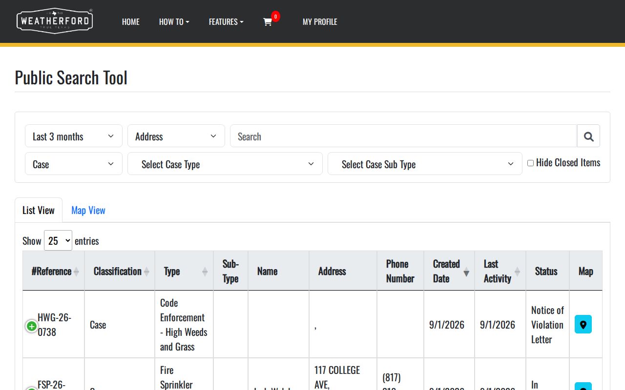
Use the displayed case or permit number, status, date, and parcel information to request or verify a particular record, while preserving the exact role attached to the name.
Compare Weatherford Street Jurisdictions
A Weatherford mailing label does not settle the government jurisdiction for a street address. The Parker County subdivision list separates city limits, street location, city address, ZIP, school district, precinct, volunteer fire district, and PCAD identifier. A postal city can therefore appear with a county-jurisdiction or non-city-limit flag. For a specific parcel, read those fields beside the current GIS boundary and retain the date checked.
This is the local comparison that prevents street-level research from flattening urban parcels, newer subdivisions, and rural Parker County roads into one category. The same address can have a postal ZIP, a situs label, a legal description, a precinct, and a fire district, each created for a different purpose. Note: Treat a source's own jurisdiction field as evidence, not a substitute for a current boundary determination.
Identify the Weatherford Address Authority
Address assignment follows the jurisdiction, not merely the ZIP. Weatherford Fire handles in-city addressing under the city FAQ, while Parker County 911 Addressing covers most unincorporated areas and excludes Weatherford. The county address application asks for the owner and mailing information, legal description, subdivision/phase/lot/block or rural acreage/abstract, PCAD ID, and a marked driveway, entrance, or structure site plan. That driveway detail is a local practical clue: a rural address may be assigned from the entrance location.
For a new or changed rural situs, use the county's supported application route and confirm the jurisdiction before assuming city procedures apply. The address request also distinguishes ownership and relationship information from its final assigned address. Those fields can help resolve a parcel location, but they do not create an occupancy record.
Match Weatherford Streets Across Eras
No verified Weatherford street-renaming or renumbering list with years was located in the research. When a historic address does not match a modern address result, use the evidence that does exist: official Weatherford Sanborn editions from 1885 through 1921, city maps, the City Boundary Book, annexation records, old directories, and a deed's legal description. The 1921 Sanborn set has 17 sheets and can clarify structures, block numbers, street names, and built context, but it is not a modern legal survey.
Historic reverse or criss-cross directories are the address-to-occupant bridge. A criss-cross directory lists names by address, while a standard directory commonly begins with a name. TSLAC confirms Weatherford directory years for 1961, 1982, 1986, 1992, 1993, and 1994; the complete local reverse-run inventory was not verified. The historical volumes are better explored through the Weatherford city-directory collections alongside newspapers, census material, tax rolls, and deeds.
Define Weatherford Street Record Terms
These labels separate a property description from a person claim. Reading them correctly makes a Weatherford address result easier to check against the next office or collection.
- Parcel
- A mapped unit of land used in appraisal and GIS systems. Its boundary is not a list of residents.
- Situs address
- The property location label. It can differ from an owner's tax mailing address.
- Plat
- A recorded subdivision or land map that may identify lots, blocks, and cabinet-page references.
- Criss-cross directory
- A historical directory arrangement that starts with an address and may list a period occupant or household clue.
Limits of a Weatherford Street Directory
Address-keyed public records do not reveal every person who may be at a property. Renters and household members are not established by a public parcel record. Driver-license addresses are protected, utility customer lists are not public, and a tax mailing address can belong to an owner, agent, estate, trust, or other mailing recipient. A current owner, a past deed party, and a permit applicant are distinct roles.
For a record that is unavailable online, ask the custodian for the existing address-specific record and honor confidentiality, redaction, and access rules. An old directory entry, map label, or appraisal result should never be presented as proof that someone currently lives there.