
Weatherford ZIP Codes in Postal Use
Official Census and Texas materials list four ZIP codes serving Weatherford: 76085, 76086, 76087, and 76088. The Weatherford ZIP code directory begins with those codes, then keeps the evidence narrow. USPS verifies mailing information. The county subdivision list and current GIS provide local context. No official source reviewed supplied a complete carrier-route map or a single definitive ZIP-boundary shapefile, so a ZIP should be checked against the precise street address rather than treated as a municipal boundary.
| ZIP | Local evidence | Postal check | Important limit |
|---|---|---|---|
| 76085 | Weatherford and Parker County mailing area | USPS address verification | Exact carrier and city-limit edges were not confirmed. |
| 76086 | Central Weatherford mailing area | Weatherford Post Office at 1145 Santa Fe Drive | A postal city still differs from a legal boundary. |
| 76087 | Quail Valley, Quanah Hills, and Richmond examples in county material | USPS plus GIS and subdivision-list review | Includes suburban, rural, and county-jurisdiction contexts. |
| 76088 | Ranger Highway Industrial Park and Rhodes Ranch/Old Agnes Road examples | USPS plus GIS and subdivision-list review | Rural and north/east contexts occur; no city-limit guarantee. |
The table is a coverage lead, not a claim that every address in a listed ZIP lies inside Weatherford. The county source treats city limits, street location, city address, ZIP, school, precinct, and volunteer fire district as separate fields. That distinction is the practical core of a Weatherford ZIP code search.
Verify a Weatherford ZIP with USPS
Use the USPS city and state ZIP lookup for the mailing result attached to a full address. USPS is the appropriate postal verifier. It cannot decide whether a parcel is within city limits, inside an annexation area, or served by a county system. Preserve the exact returned ZIP or ZIP+4 and then move to the local parcel and boundary sources for the next question.
The official USPS ZIP lookup is shown below.
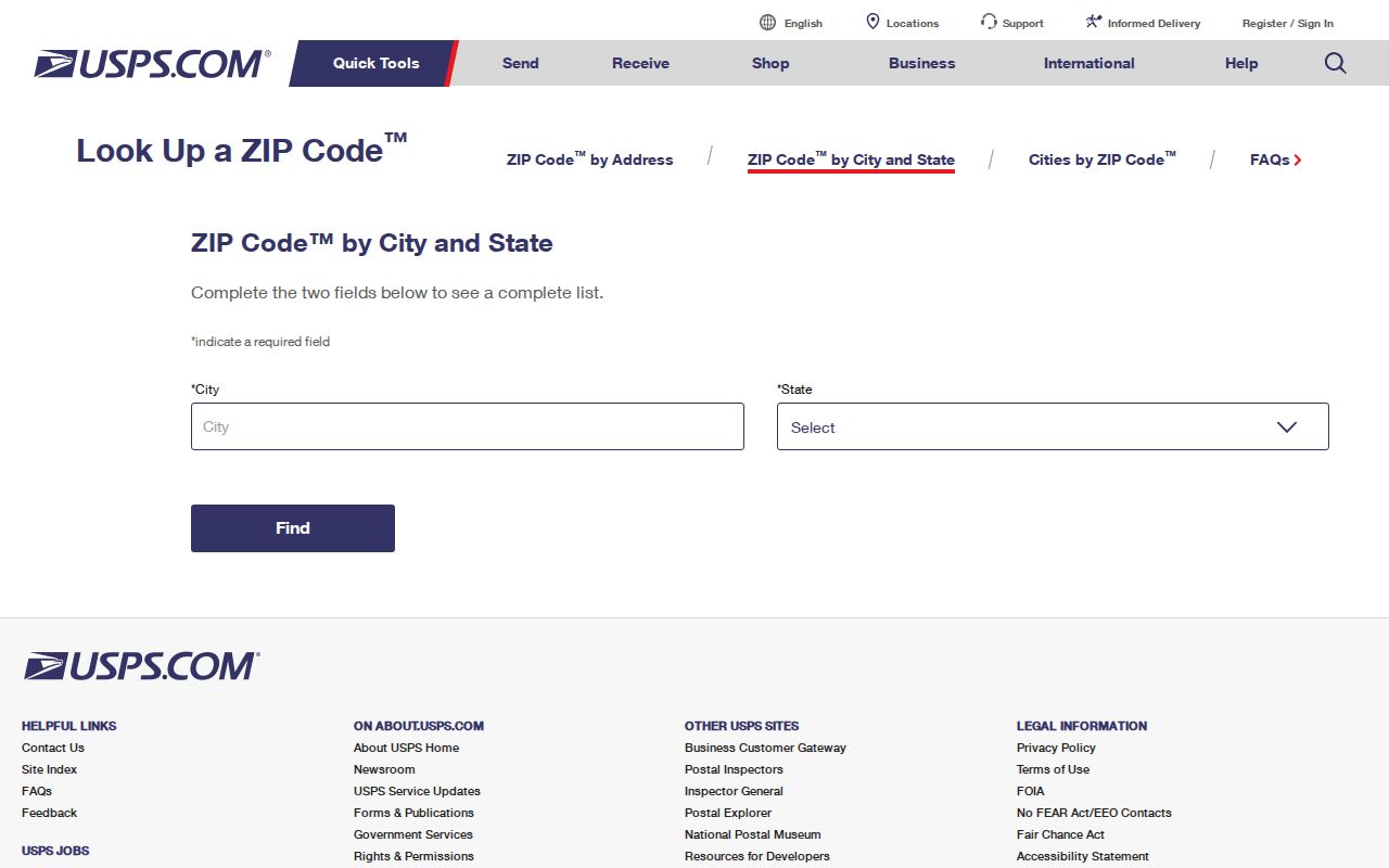
The USPS screen is the first postal check in the Weatherford ZIP code directory workflow, especially when a street is near a postal or city edge.
Read Weatherford ZIP Jurisdiction Fields
The Parker County subdivision list adds facts a mailing result does not. Its columns include subdivision name, cabinet/page, PCAD identifier, city limits, school district, precinct, street location, city address, ZIP, and volunteer fire district. Review the row with the PCAD parcel and current GIS, then report the source's own jurisdiction field and the date checked. A Weatherford mailing label can coexist with a county-jurisdiction or non-city-limit flag.
The Weatherford downloadable city maps are shown below.
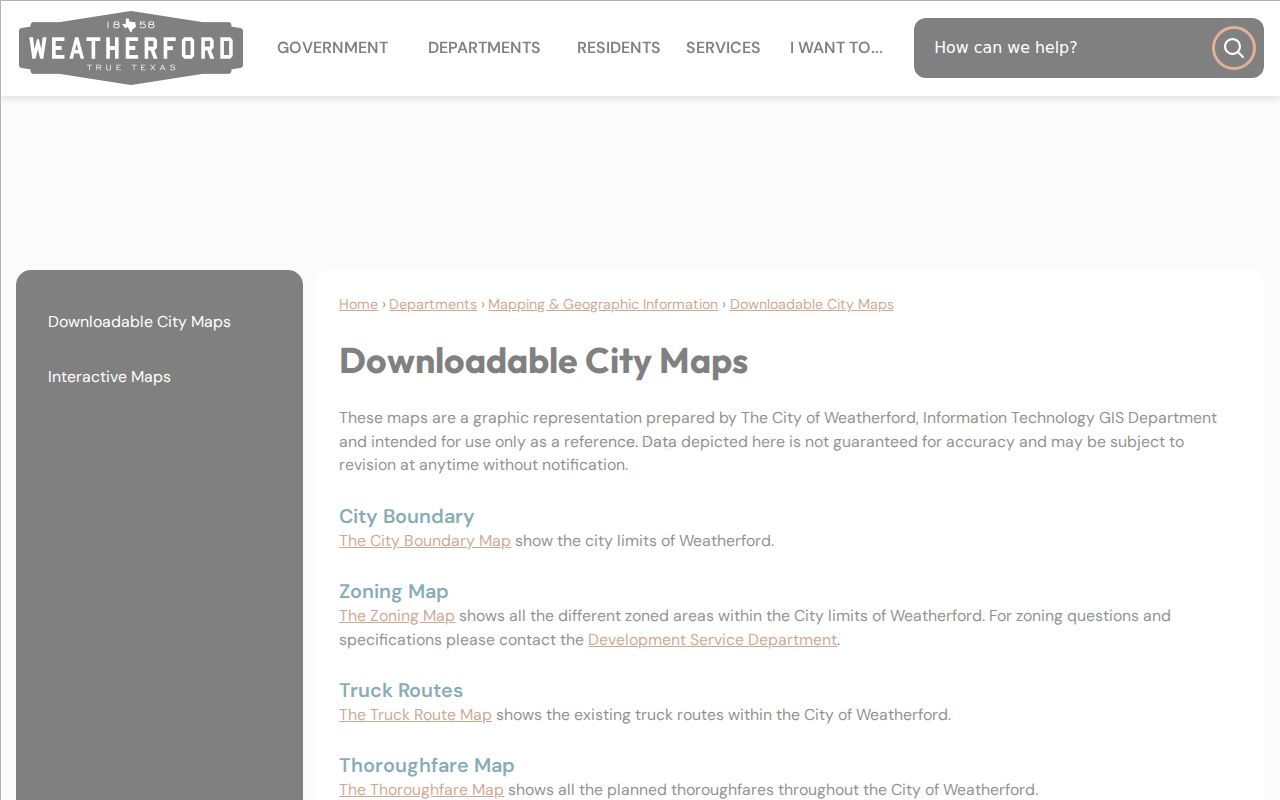
These reference maps include boundary and thoroughfare material, but they are subject to revision. Use a current parcel and boundary layer when an address-specific conclusion matters.
Check Weatherford ZIP Parcels in GIS
PCAD can search by address, owner name, legal description, Geographic ID, or Property ID. Its documented fields do not show a verified ZIP-wide search filter, so it should not be described as a ZIP list tool. Instead, use an already-known address or parcel ID, then compare its address, legal description, and map link with the ZIP and city-limit evidence. The Parker CAD GIS provides parcel context, while Weatherford GIS offers city layers and an annexation route.
| Search route | Confirmed entry or control | Use in a ZIP check |
|---|---|---|
| PCAD address | Number and Street Name; omit street type | Find the parcel attached to the mailing address. |
| PCAD legal | Legal-description text | Connect the parcel to a plat or recorded instrument. |
| PCAD Geographic ID | Text identifier; no spaces | Confirm the map and property record match. |
| PCAD Property ID | Account-prefix examples | Check the proper appraisal account category. |
| Weatherford GIS | Interactive maps and annexation layers | Compare current city context with parcel geography. |
The Weatherford GIS mapping information is shown below.
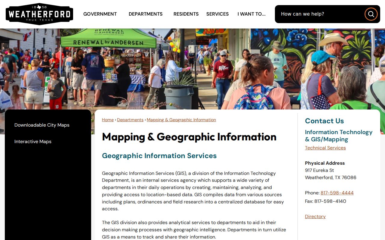
Parcel maps support an address-specific comparison. They do not turn a ZIP into a person list or establish who occupies a property.
Use a Weatherford ZIP Code Workflow
When a ZIP narrows the search area, retain the address as the working key. That approach avoids claiming that a postal code provides a complete group of people or a city-limit answer. It also creates a repeatable path when an address crosses an annexation edge or uses a Weatherford mailing designation outside the municipality.
- Confirm the mailing ZIP with USPS using the full street address.
- Search the same address in PCAD, saving the Property ID, Geographic ID, address label, legal description, and map link.
- Find the county subdivision row and compare ZIP, city-limits, school, precinct, and fire-district fields.
- Check the current Parker CAD or Weatherford GIS context, including annexation information where the parcel is near an edge.
- Move to the Weatherford street directory only when the next question is about an address-keyed parcel or recorded-document trail.
For an existing city-held record that cannot be found online, a Texas Public Information Act request can seek a specific address, record type, and date range. Ask for existing records rather than a newly created ZIP report. Note: The most reliable conclusion names both the postal source and the local jurisdiction source used.
Keep Weatherford ZIP Voter Data Limited
No official per-ZIP voter registration table was located for Weatherford. Texas My Voter Portal checks current registration and polling-place information, and the live entry begins with a Texas driver-license route according to the research. Parker County Elections handles registration, updates, and local election administration. The formal SOS voter-file process offers defined record-status groups and delivery options, but it is regulated data and is not a tool for reconstructing protected addresses.
Texas distinguishes public and confidential voter information. Protected residence data, certain identification information, and confidential-address programs require care. A current portal result can also differ from a historic result after address confirmation, eligibility changes, or a precinct adjustment. Use the effective election or precinct date alongside any authorized record. The Texas My Voter Portal and SOS voter-file request form are the official access routes.
Compare Weatherford ZIP HOA Certificates
The Texas HOA management-certificate search accepts association name, county, city, ZIP, and association type. It is useful for checking an association certificate by geography. It is not a directory of members or a record of who lives in a subdivision. Certificate information is user-provided, so its completeness and current status should be checked on the live record.
The official Texas HOA certificate search is shown below.
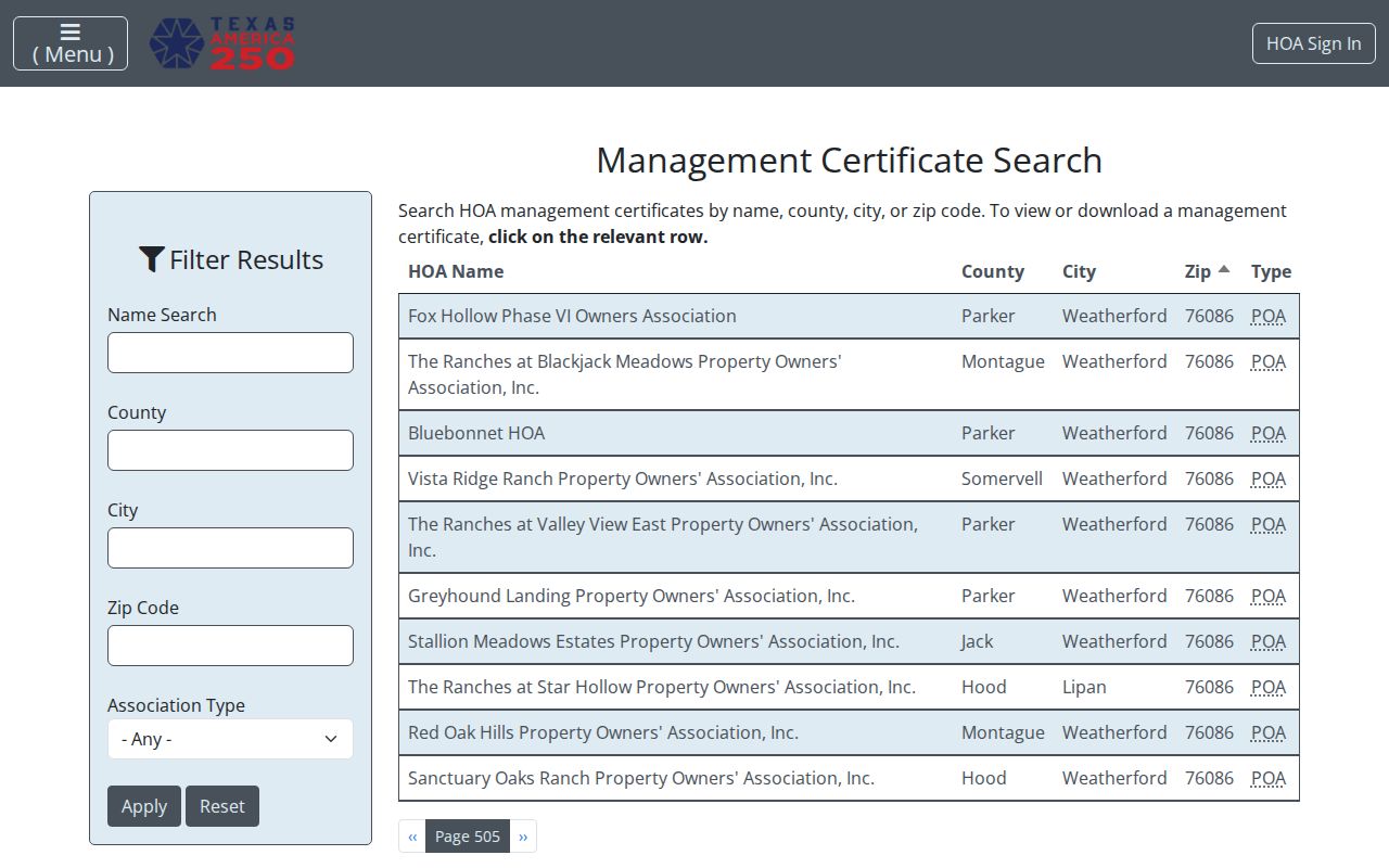
Weatherford and Parker County examples in the official search include results using 76086 and 76087, but a mailing city or ZIP does not settle the association's county or municipal jurisdiction.
Route Weatherford ZIP Address Requests
City and county addressing authority follows jurisdiction rather than the ZIP alone. Weatherford Fire handles in-city addressing, while Parker County 911 Addressing covers most unincorporated areas and excludes Weatherford. The county process asks for a legal description, subdivision/lot/block or rural acreage/abstract, PCAD ID, and a marked driveway, entrance, or structure plan. This is a useful local check when an address along a rural road seems inconsistent with the postal city.
The Parker County 911 Addressing information is shown below.

The driveway-location requirement shows why a rural mailing ZIP is not enough to place a situs address or choose the correct addressing office.
Separate Weatherford ZIP Codes from City Limits
Postal city, situs address, mailing address, legal description, city-limit status, school district, precinct, and fire district are separate attributes. A permit may use a service address, a deed uses a legal description, PCAD can display situs and mailing information, and voter records have their own privacy rules. Annexations can change municipal status without changing a ZIP. For a historical edge question, pair the current GIS with the City Secretary's Boundary Book, annexation ordinances, and the city's annexation layer.
- ZIP code
- A postal sorting geography. It is not a city boundary or parcel boundary.
- ZIP+4
- An added postal segment that improves delivery precision within a ZIP code.
- PO-box ZIP
- A ZIP assigned for post-office-box delivery, not necessarily a geographic area of street addresses.
- Unique ZIP
- A ZIP used for one organization or large recipient; no such Weatherford example was verified here.
- Carrier route
- A delivery route within postal operations. Complete local carrier-route coverage was not located in the reviewed sources.
Account for Weatherford ZIP History Gaps
No official complete ZIP split or realignment history was located. That absence matters when an older address will not line up cleanly with a modern postal lookup. Weatherford maps from about 1850, 1893, 1940, 1961, 1972, 1983, and 1987, along with Sanborn maps and dated directories, can help explain an older street or neighborhood reference. They do not replace a current USPS result or a modern legal-boundary check.
For an older local address, the Weatherford Public Library Local History collection offers newspapers, city directories, census material, land and tax resources, and microfilm. The library says Weatherford newspapers are on microfilm from 1901 forward, while the Texas State Library directory list confirms Weatherford holdings for 1961, 1982, 1986, 1992, 1993, and 1994. Those sources preserve the date-specific spelling and place context that a current ZIP result cannot supply. They are historical evidence, not proof of a current mailing or municipal status.
When the historic address remains uncertain, preserve the source date, original spelling, and jurisdiction field instead of forcing it into a current ZIP. That careful comparison is more useful than treating a modern Weatherford ZIP code directory as a record of every past address.